I remember a compass in the 70's. Didnt even have a paper map just a compass. I literally own a t-shirt that says Analog, lol. So if you dont mind go a little deeper into how it is better for the things you mentioned. I have been doing all of that with onX and laying tracks. I assume you mean you can build your own layers that can be added to a map without the hiking, correct? That is sorta what I am getting from what you posted.
Edit: quoted the wrong post, the question was for
@Iron_llama
I carry a map and compass as well.
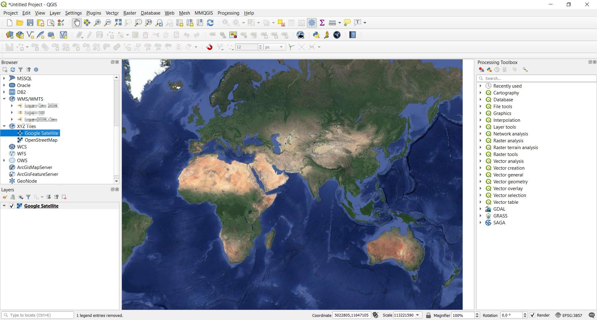
GIS tools are probably more of a pro-level thing that most users probably won't need. Let's assume that everything you see on OnX was probably developed using tools like ArcMap; QGIS is a freeware competitor of ArcMap, and kinda sits between the user-level tools and pro-level tools. You'd use GIS tools to make custom maps, or do more intricate analysis. I'm not trying to convince anybody that all hunters should use these tools; but some of us are interested in diving down this rabbit hole.
I've only ever used OnX in my GPS, off a chip; I'd imagine most people have it on their phones. So my experience is probably somewhat more limited than yours. It comes pre-loaded with a couple of base maps (topo and imagery), and different layers - political subdivisions (townships, counties, etc.), roads, property lines, property ownership, etc. You can toggle these layers on and off, depending on what you're interested in looking at. Suppose I'm hunting two public parcels a few miles apart. On OnX, I can see the terrain (at whatever level of detail the contour lines are, probably 1/3/5/10 yards, I can't recall offhand), vegetation, water, property lines, neighbors, etc.
With QGIS, I can import whatever imagery I can find. Maybe a false-color infrared will show the health of vegetation better that true-color. Maybe I want to use historical imagery to understand changes or shifts in animal behavior. Maybe I want to use historical census data to track shifts in population; if the neighborhood has blown up since the last census maybe I need to find other hunting land. Maybe I'm interested in terrain, and want to turn the basemap completely off. I can download a Digital Elevation Module (DEM) with sub-meter evolution and identify all south-facing slopes, or set fine contour lines and visualize small depressions that might hold more water. Maybe I can get data for proposed or pending new construction. I can download the roads dataset from the state DOT, and sort out paved roads from unpaved roads from minimum-maintenance roads, etc. I can download the wetlands dataset from the DNR and look at the documented details of various waters. I can use the DEM file to do viewsheds when contemplating placing cameras; I've used viewsheds to plan out potential cell cam deployments in remote areas where I had to link several together to get connectivity. Maybe I want to download the Line 3 pipeline data from the protesters who "acquired" it and see how close I am to easements.
Your surveyor, your home builder, developer, landscaper, county tax assessor, sheriff's office, park service, etc. all use GIS tools for various parts of their jobs. Essentially, I can do more detailed analysis using GIS tools than I can with user tools, even if the user tools are impressively badass. Whether or not that sort of analysis is something you want to do at all, or contract out vs learning to do it yourself, are other questions.

 freegistutorial.com
 opensourceoptions.com
